Skip to content
Solutions

Solutions, told through the work.

Circlegeo turns earth and data into systems institutions depend on — national weather, ocean, and aviation forecasting, and the geospatial engines behind Indonesia's largest insurers. Here's the proof, project by project.

Delivered forBMKGJasindoBCA InsuranceMAIPARK

One toolkit, applied to your problem.

Every project below is built from the same four capabilities — combined and tuned to what the decision actually needs.

Dashboards

One place to see the whole picture — every layer, metric, and alert on a single operational screen.

Data visualization

Maps, charts, and geospatial views that turn dense data into something a decision-maker reads in seconds.

Automation

Pipelines that ingest, process, and update on their own — no manual refresh, no stale numbers.

Realtime data analysis

Live feeds analysed as they arrive, so the map reflects now — when minutes decide the outcome.

Earth science

Weather, ocean, and aviation systems that turn the planet's physics into forecasts and warnings people can act on.

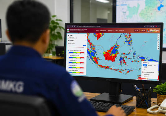
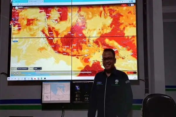
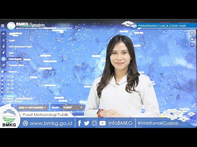
BMKG — SignatureBMKGWikimedia Commons
01BMKGImpact-based weather

Signature

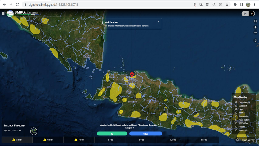
An impact-based forecasting platform that fuses BMKG rainfall with BNPB vulnerability data — turning a forecast into colour-coded threat polygons and a 1–10 impact level, so responders see what a storm will do, not just where it rains.

BMKG — Ocean Forecast SystemBMKGWikimedia Commons
02BMKGMaritime forecasting

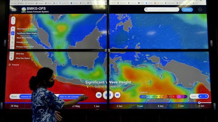
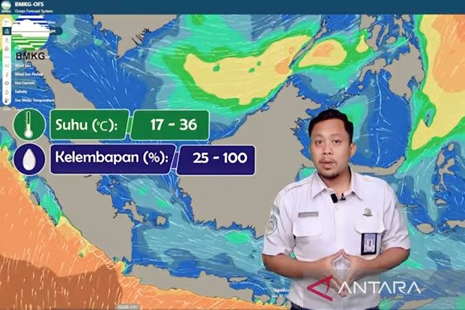
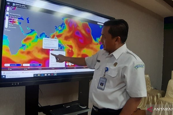
Ocean Forecast System

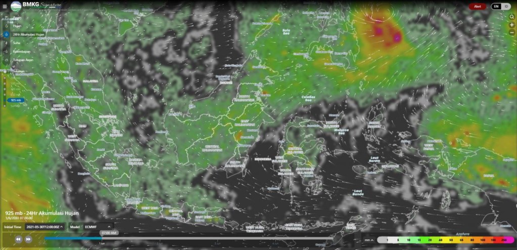
A national marine-weather system for the world's largest archipelago — waves, currents, salinity, and drift modelled up to seven days ahead, delivered as maps that keep ships, ports, and coastlines ahead of the sea.

BMKG — SIAMBMKGWikimedia Commons
03BMKGAviation meteorology

SIAM

Aviation-grade meteorology for Indonesian airspace — the weather picture pilots and controllers rely on, packaged for flight safety across thousands of daily movements.

Risk & insurance

Exposure, hazard, and accumulation made visible — so insurers and reinsurers price and manage risk on real geography.

Jasindo — SIAP GeospasialJasindoWikimedia Commons
04JasindoAgricultural insurance

SIAP Geospasial

The geospatial backbone of Indonesia's paddy-insurance programme (AUTP) — mapping insured fields, validating claims against the ground, and making a nationwide smallholder scheme auditable field by field.

Jasindo — PropertyJasindoWikimedia Commons
05JasindoProperty risk

Property

A geospatial view of a national property book — every insured asset placed on the map, exposure and accumulation made visible so underwriting sees concentration risk before it writes it.

BCA Insurance — PropertyBCA InsuranceWikimedia Commons
06BCA InsuranceProperty risk

Property

Portfolio-wide property risk for BCA Insurance — locations, hazards, and accumulation on one canvas, so pricing and capacity decisions rest on where the risk actually sits.

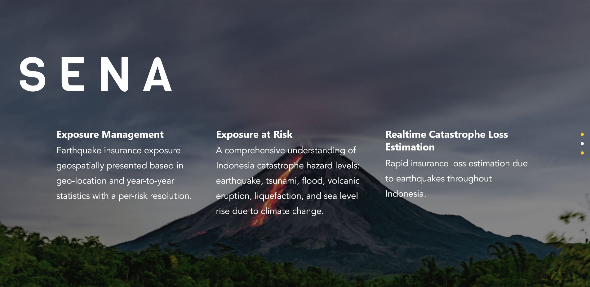
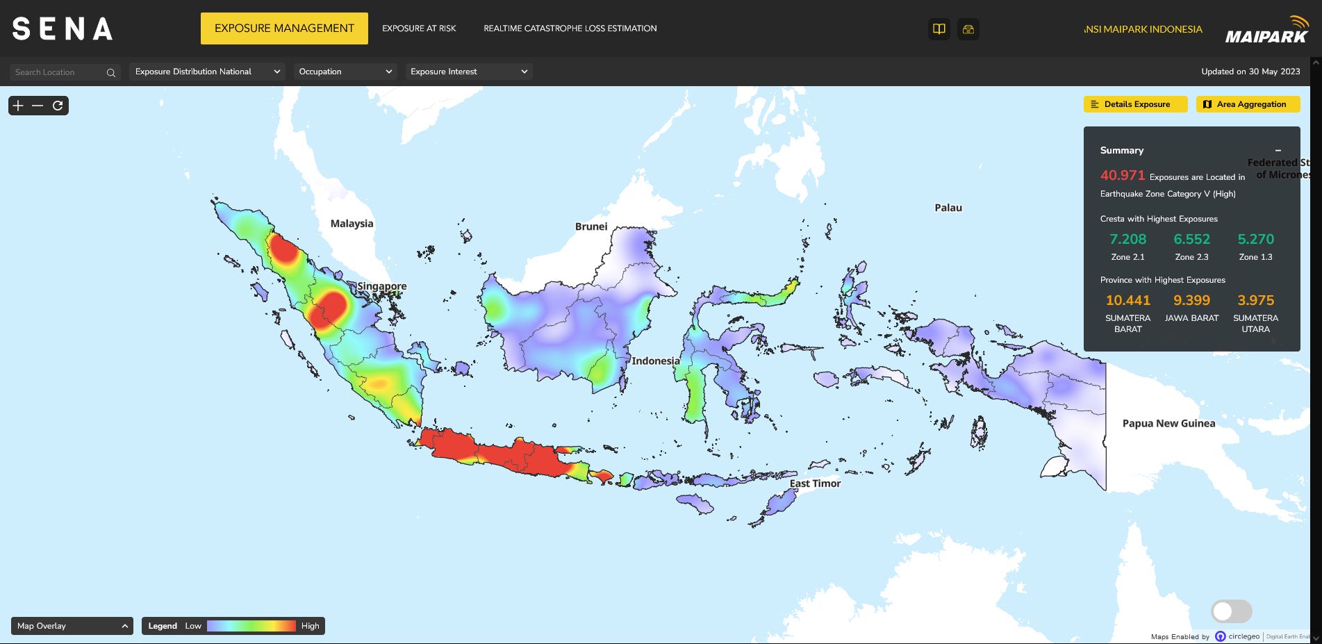
MAIPARK — SENAMAIPARKWikimedia Commons
07MAIPARKCatastrophe modelling

SENA

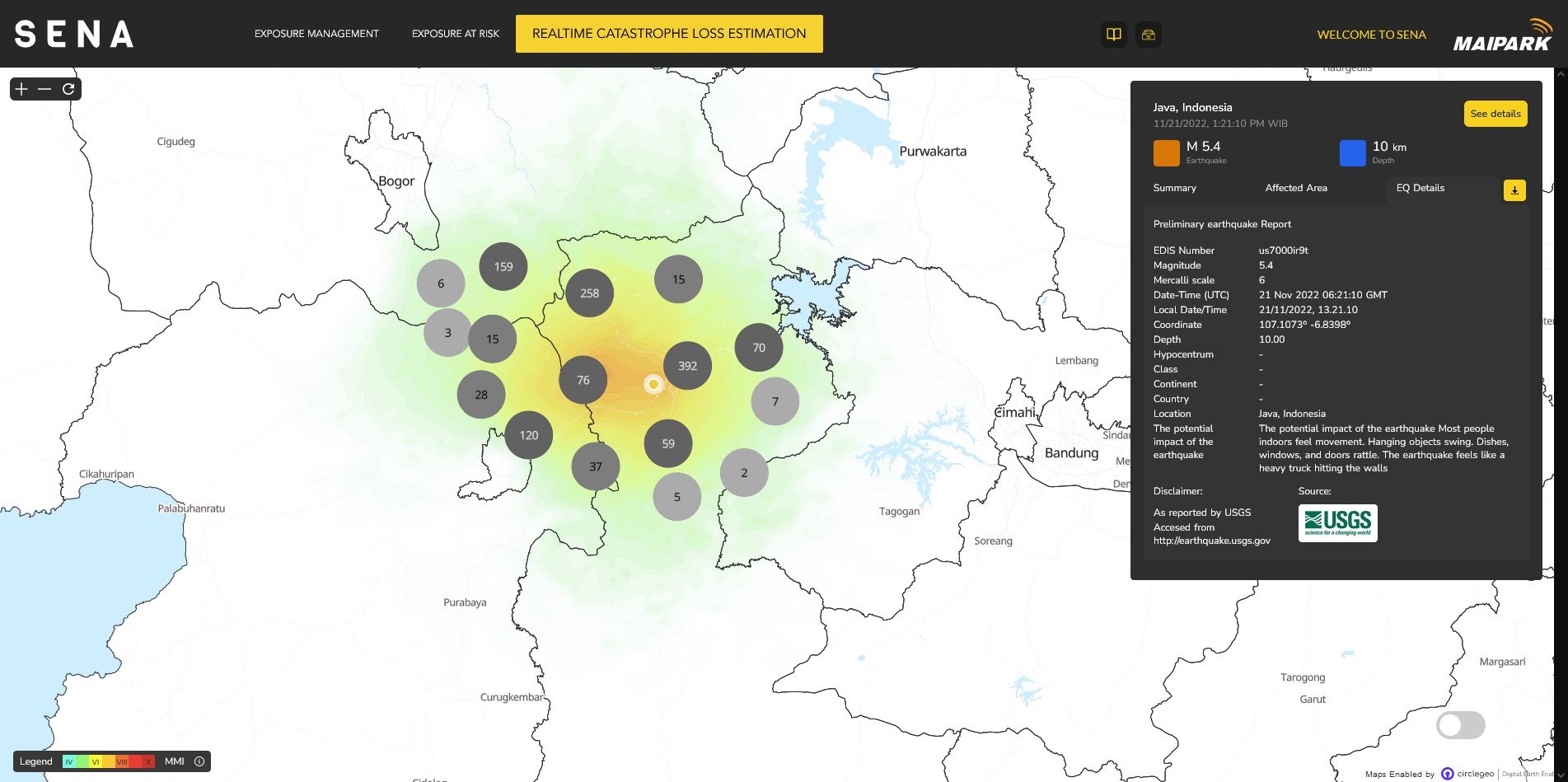
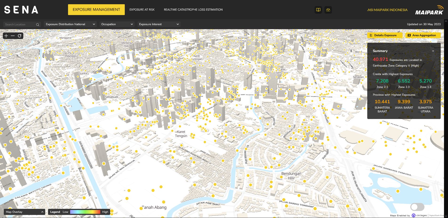
A catastrophe portfolio platform for Indonesia's specialist earthquake reinsurer — exposure crossed with seismic hazard to price disaster risk and manage accumulation across the national book.

Your problem is probably on this list.

If you're deciding under weather, hazard, or exposure, we've likely built something close. Tell us the problem — we'll show you the shortest path to a working system.